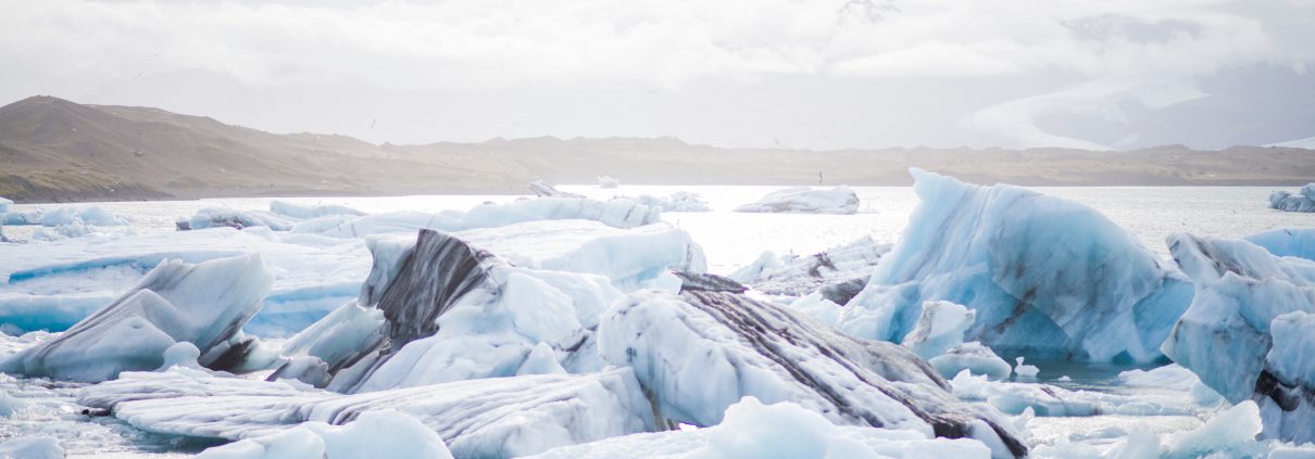
Arctic Ice Melt is Rocking World Weather
Global warming and the melting of ice in the Arctic could be making winters in North America, Europe, and the Middle East even longer. Because of sea ice loss in the Arctic, the polar vortex is shifting and temperatures are turning colder during March. The polar vortex is the zone of frigid air that encircles the Arctic and is most pronounced during winter. In addition to setting a record low in November, Arctic sea ice extent averaged around 4.67-square miles for December 2016, ranking second for the lowest extent in the satellite data record dating back to 1979.
Severe winters are now strongly linked to soaring polar temperatures, with deadly summer heatwaves and torrential floods also probably linked. The scientists now fear the Arctic meltdown has kick started abrupt changes in the planet’s swirling atmosphere, bringing extreme weather in heavily populated areas to the boil. These patterns can also favor the development of unusually strong, slow-moving storms in the mid-latitudes, which lead to extremes in weather such as blizzards, floods and major wind events. Other factors like rising air temperatures, sea surface temperatures, and the influence of the tropics in addition to Arctic ice melt all play a role in weather patterns.
The chain of events that links the melting Arctic with weather to the south begins with rising global temperatures causing more sea ice to melt. Unlike on the Antarctic continent, melting ice here exposes dark ocean beneath, which absorbs more sunlight than ice and warms further. This is why the Arctic is heating up much faster than the rest of the planet. The jet stream forms a boundary between the cold north and the warmer south, but the lower temperature difference means the winds are now weaker. This means the jet stream meanders more, with big loops bringing warm air to the frozen north and cold air into warmer southern climates.
For the full article, CLICK HERE.


