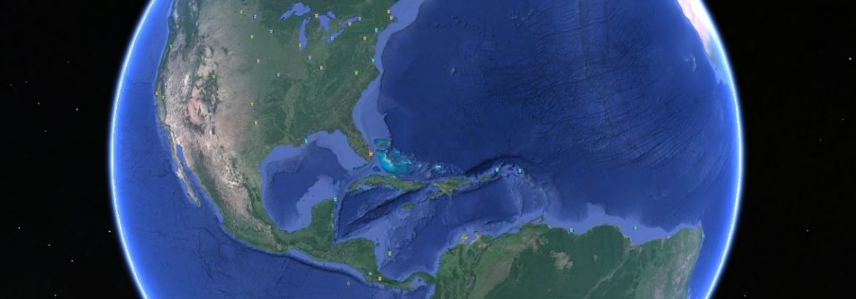
Climate Hot Map – Global Warming Effects Around the World
The Union of Concerned Scientists (UCS) is pleased to offer a new, interactive way to learn about the local consequences of global warming. The Climate Hot Map allows you to travel the world, exploring the places (or “hot spots”) where scientists have gathered evidence for climate changes that are already underway and where they are now assessing the risks associated with further warming. This web feature builds upon work originally undertaken by a coalition of nonprofit groups that was first published in 1999. (The original coalition included Environmental Defense Fund, Natural Resources Defense Council, Sierra Club, Union of Concerned Scientists, U.S. Public Interest Research Group, World Resources Institute, and World Wildlife Fund.)
Explore the signs of global warming on the Climate Hot Map or by using Google Earth. The evidence of climate change includes heat waves, sea-level rise, flooding, melting glaciers, earlier spring arrival, coral reef bleaching, and the spread of disease. The greatest concentration of global warming indicators on the map is in North America and Europe because that is where most scientific investigation has been done to date. As scientists focus increasingly on fingerprints of global warming in other regions—from Russia to Antarctica and Oceania to South America—the evidence they find will be added to the map.
The Climate Hot Map arranges current and future climate impacts into five main groupings:
- People
- Freshwater
- Oceans
- Ecosystems
- Temperature
Each of these major groupings, in turn, is divided into specific categories that describe more fully some of the consequences we may face. UCS has also outlined numerous solutions to global warming and how they are best deployed in different regions of the world. All of them are needed in order to bring down the emissions of heat-trapping gases by at least 80 percent by mid-century.
To explore the Climate Hot Map:
CLICK HERE


